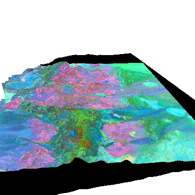
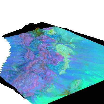
The two LANDSAT scenes (Sultan's combination) draper
over the g-topo digital elevation model as if looking to the west.
The bottom of the top image matches witht the top of the botom image.
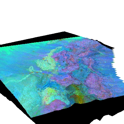
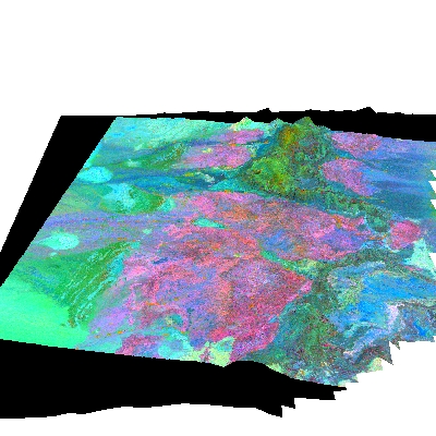
The same two scenes as above, but viewed from the west,
looking east. Again the bottom of the top images matches with the
top of the bottom image.