


 NEW!! 3D Visualization Methods.
Topographic images from Pioneer Venus and Soviet Venera spacecraft. This
2.7M mpeg movie
outlines the basic data products and techniques used to create three-dimensional
imagery of the surface of Venus. Synthetic aperture radar (SAR) and altimetry
data are combined to produce elevations models and texture-mapped terrain
models. This was our first series of image products, prior to the development
of the fractal surface modeling techniques from radar reflectivity and altimetry
scatter described below.
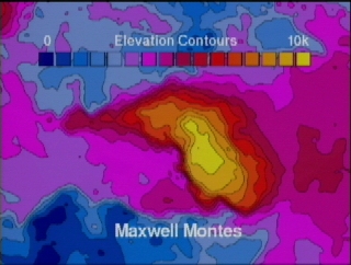
 Pioneer's MAXWELL MONTES:. Highest mountain range in the solar system, Maxwell rises some
11 kilometers above the surrounding plains of Lakshmi. This image was generated
in 1989, based on the NASA Pioneer Venus altimetry data and the Soviet
Venera Synthetic Aperture Radar. Resolution is about one data point = 15km, vertical
exaggeration is x20.
The 640x480 jpeg image is 29k,
gif image is 135k.
The 192x144 mpeg movie is 923k.
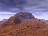
 Magellan's MAXWELL MONTES: No vertical exaggeration. The high resolution
radar data collected by the NASA/JPL Magellan space probe
allowed significantly different imaging techniques to evolve. Scientists at
the Jet Propulsion Laboratory in California developed a method called
shape from shading to generate topographic surface detail. The Geophysical
Imaging Laboratory at SMU developed a complementary technique which fuses sensor
data from radar reflectivity and elevation readings of the spacecraft altimeter along
with a measure of the altimetry signal scatter to define a local fractal dimension (LDF)
for any given point on the planet's surface. That technique produced the stunningly realistic
geology seen in the following images and movies, and in pictures featured now in
hundreds of periodicals and text books around the world like
Scientific American,
Discover,
National Geographic and in the
Smithsonian Museum on the National Mall in Washington D.C.
 MAAT MONS. Highest volcano on Venus, Maat has an elevation of about 8 km above
the mean planetary radius. There is some speculation that this might be an
active volcano. This image/animation was among the first generated from the
highly detailed Magellan altimetry and radar data. Resolution is one data
point = 75 meters!
The 640x480 jpeg image is 36k,
gif image is 193k.
The 192x144 mpeg movie is 320k.
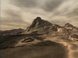
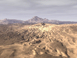 SAPPAS MONS. Large doubled-headed shield volcano on the plains west of
Maat Mons, which can be seen on the horizon.
The 640x480 jpeg image is 42k,
gif image is 172k.
The 192x144 mpeg movie is 3.6 Meg, and
is actually a series of flyby sequences of the Atla Regio area of Venus.
(Commissioned for Scientific American Library CDROM, "The Planets")
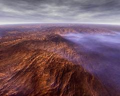
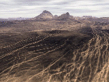 OZZA MONS. View of Ozza and Maat Mons from the southwest, across a broad
array of cracks and linear strikes.
The 640x480 jpeg image is 49k,
gif image is 183k.
The 192x144 mpeg movie is 3.8 Meg, and
is a continuation of flyby sequences of the Atla Regio area of Venus.
(Commissioned for Scientific American Library CDROM, "The Planets")

![]() SMU Geological Sciences
Archive
SMU Geological Sciences
Archive
